SOTA has been very scarce in my life of late! Having just started to play with Satellites (HF is a lot of hard work with the current sun spots!) I thought it might be nice to one day do a Satellite SOTA activation.
One day…

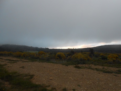
An early start sun rise below the freeway bridge!
My mate Glen, ZS2GV said he was going to one of his high-sites in the Hogsback area, so I bummed a lift!
This was great – it got me to and from the Hogsback area (300 odd Km from my QTH each way) and it saved the world from hearing more karaoke from Glen driving alone in his saltmine bakkie.
And so one day became today – Tuesday 30 July 2019. An early start, a return after sunset, but wow, what a day!
After a stop at Nanaga farm stall for the mandatory pies, we made our way to Hogsback going past Grahamstown and then through Fort Beaufort and Alice and finally up the magestic pass into Hogsback village.
Straight through the village and onto the road to Sweat Grass, the farm on which the access road to Elandsberg is located.

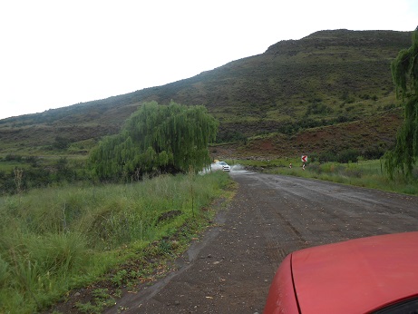
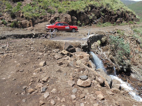
Elandsberg access track
A 4×4 track (see left) leads through some farm gates and the zig-zas up to the top of the ridge. After that, you pretty much on your own.
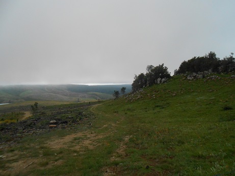
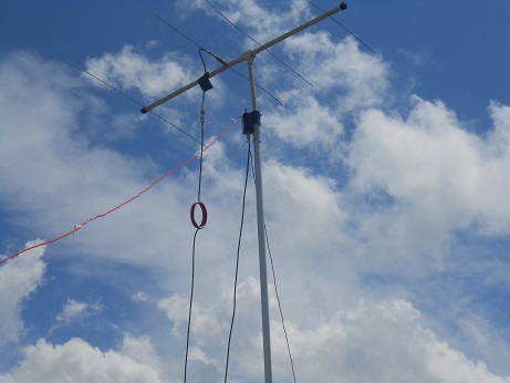
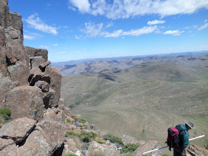
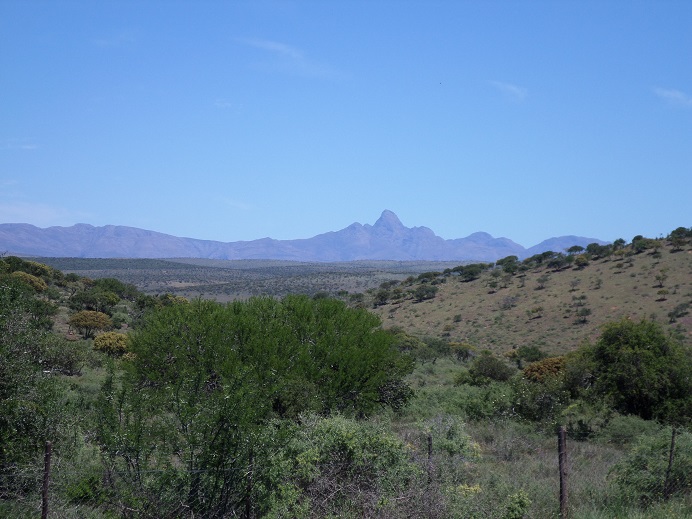
The view from the top of Elandsberg ZS/EL-012 is, well, Hogsback, so by its very definition, awesome. The wind was howling, but the plan was to activate on satellite, so the HF dipole was NOT put up.
I had looked on gPredict and made a “cheat-sheet” of all the workable passes over Elandsberg for the day and simply had to keep and eye on the time and track the satellites!
We were a little late getting away in the morning, but we got up top about 11 am and so I had three passes that could do the trick. The first two passes went without me hearing a thing – well other than wind and noise.

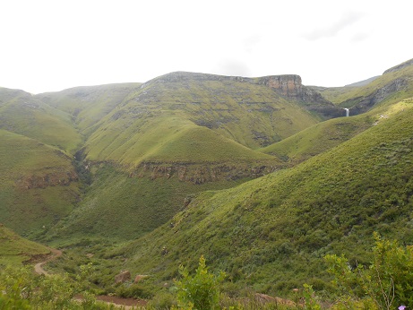
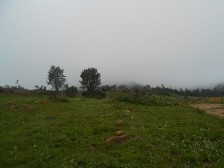
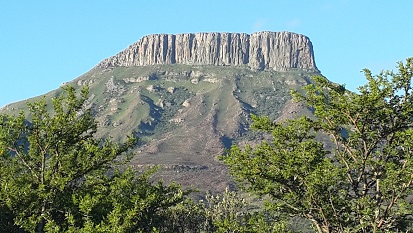
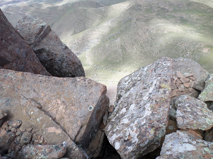
Giakas kop from Elandsberg
Ok, I’ll admit – I was starting to worry about possibly not activating. Remember to activate a SOTA summit you need a minimum of 4 QSOs and I had none, with one pass left.
AO-91 was the satellite on which I was pinning my hopes. The pass started to the North and I shifted gears (frequency) for the pass – everything! Nothing heard!
By now my radio was set to the “LOS” frequency and I was facing South. I sat down on a rock – feeling rather dejected – and randomly pointed the AMSAT yagi in the direction of the LOS coordinates (as if to tell AO-91 where it SHOULD be).
Up came the signals and I heard the world! In a very short time I managed to work ZS1LEM, ZS1OB, ZS2BK, ZS2ACP, ZS4CGR, and ZS4MG. All 5/9 through the satellite! Boy did my mood change!
It amazes me what you can do with a hand-held putting out 5W and a hand-held yagi antenna.
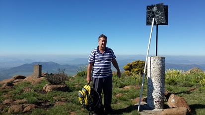
And so it came to pass that ZS2DH, from the top of Elandsberg, managed to get his quota of QSOs and activate the Elandsberg. A lot of firsts…
First activation of Elandsberg, my first activation of 2019 (*blush*), and my first satellite SOTA activation. Thank you GV!